Point Cloud Measured Survey
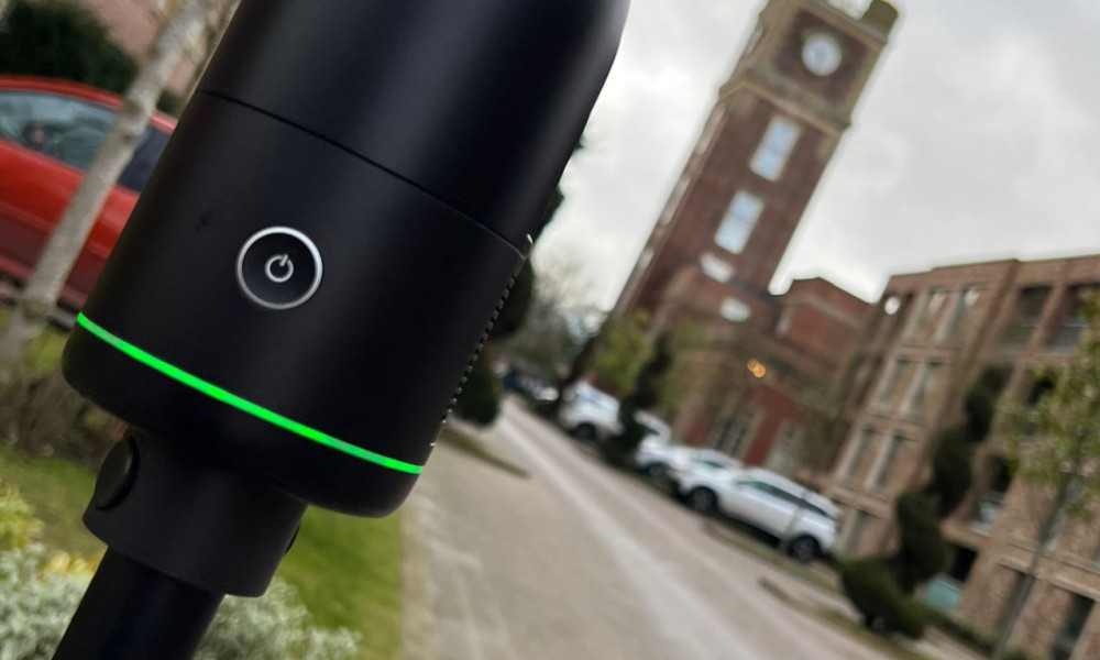
A Point Cloud Laser Scan Measured Survey is a fast and efficient way to obtain precise and detailed data from a property enabling an accurate 3-D model/map to be produced.
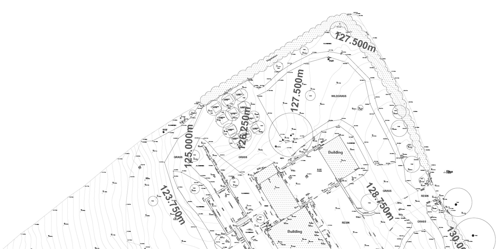
Our highly experienced land and building surveyors are able to produce logical, well presented, and highly accurate drawings which clearly illustrate, and represent the detail surveyed using traditional surveying techniques and the very latest in surveying equipment.

A Point Cloud Laser Scan Measured Survey is a fast and efficient way to obtain precise and detailed data from a property enabling an accurate 3-D model/map to be produced.
A Point Cloud Laser Scan Measured Survey is a fast and efficient way to obtain precise and detailed data from a property enabling an accurate 3-D model/map to be produced.
Our team conduct Point Cloud Measured Surveys to the highest possible standards using expert 3D laser scanning equipment to give high-definition accurate results to progress and aid your project to its full potential.
If you require a Point Cloud Survey or would like more information
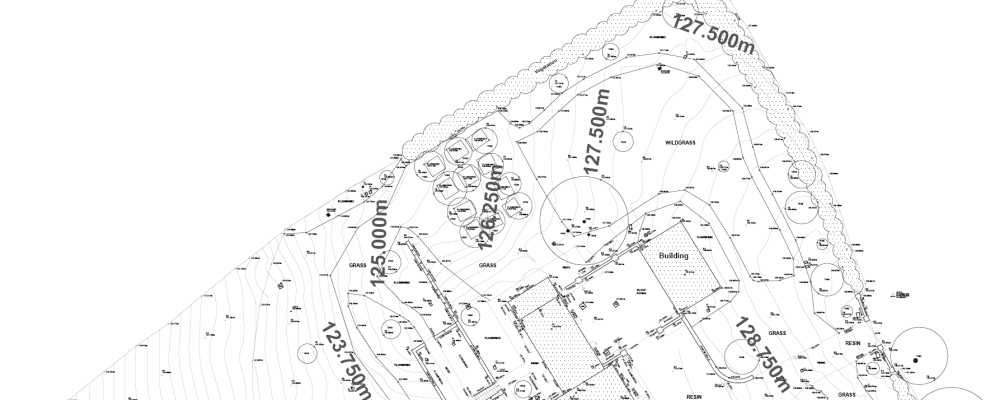
A Topographical Land Survey provides accurate detailed measurements of natural and man-made features within a specific area.
Our team use the captured digital data to produce a bespoke scaled survey drawing of your area in 2D AutoCAD format – this will assist to plan the scope of work for your future requirements.
A Topographical Survey/Land Survey provides accurate detailed measurements of natural and man-made features within a specific area.
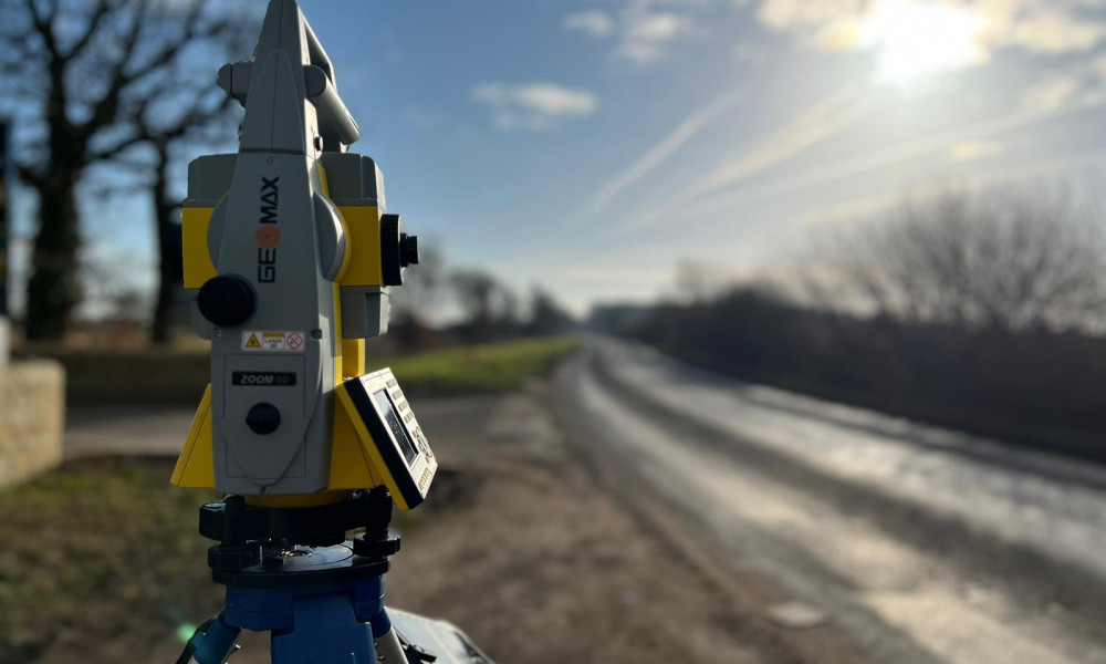
Using the latest Total station, Laser Scanning, GPS & Aerial equipment we capture the data in 2D.
Here are some examples of what information is captured/surveyed:
Our team use the captured digital data to produce a bespoke scaled survey drawing of your area in 2D AutoCAD format – this will assist to plan the scope of work for your future requirements.
If you require a Topographical Survey or would like more information.
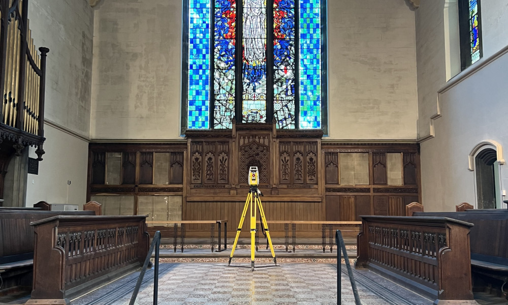
LHL can provide the complete range of measured building survey services including; floor plans, sections, structural details and elevations.
Each element of the property can be surveyed independently or as part of a fully connected co-ordinated survey.
LHL can provide the complete range of measured building survey services including; floor plans, sections, structural details and elevations.
Each element of the property can be surveyed independently or as part of a fully connected co-ordinated survey which will reference:
This data provides an essential base to model a 3D resource for architects and designers whether for refurbishments, alterations or record purposes.
If you require a Measured Building Survey or would like more information

A Drone Survey is a fast and cost effective way to obtain detailed information by recording videos and producing images of large or inaccessible areas without the use of heavy duty machinery.
The high-definition accurate data is reviewed to produce your report.
A Drone Survey is a fast and cost effective way to obtain detailed information by recording videos and producing images of large or inaccessible areas without the use of heavy duty machinery.
Our expert and licensed team conduct Drone Surveys following Health and Safety and Government Guidelines using expert drone equipment to give high-definition accurate results to produce your report.
If you require a Drone Survey or would like more information
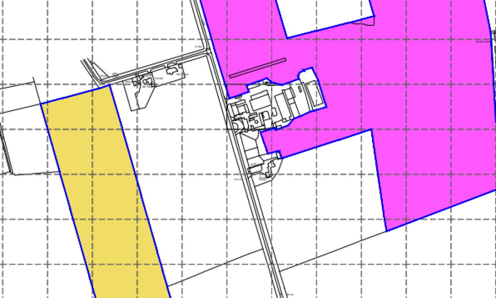
LHL Group offer a comprehensive Land Registry Compliant Plan service for a wide variety of residential and commercial properties.
LHL Group offer a comprehensive Land Registry Compliant Plan service for a wide variety of residential and commercial properties.
The Land Registry Compliant plan will be prepared to show:
Plans are generally provided as pdf files, however, they can also be supplied as AutoCAD drawings if required. Paper copies of plans will also be provided.
If you require Land Registry Compliant Title Plans or would like more information
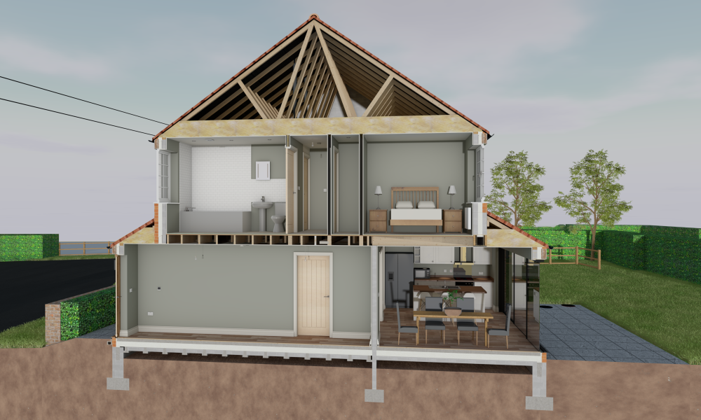
Building Information Modelling (BIM) involves creating and managing a digital 3D model that holds detailed information about a client's building or other structure.
Your space will be 3D scanned and the data that is captured is processed through BIM software to create an exact 3D model.
Building Information Modelling (BIM) involves creating and managing a digital 3D model that holds detailed information about a client's building or other structure.
Your space will be 3D scanned and the data that is captured is processed through BIM software to create an exact 3D model with highly detailed embedded digital information
This embedded information is crucial for any build as it can provide the following benefits:
Whether your requirement is structural, architectural, construction or civils we can provide the level of detail in any of the specifications you require.
If you require BIM Modelling Plans or would like more information
Operating from our centrally located UK offices in York, Hull and Harrogate, we are able to provide our services not just predominantly in Yorkshire but nationwide.
Contact us today with your enquiry for a Measured Survey and one of our professional team will provide you with a Fee Quotation.
